
GIS Services
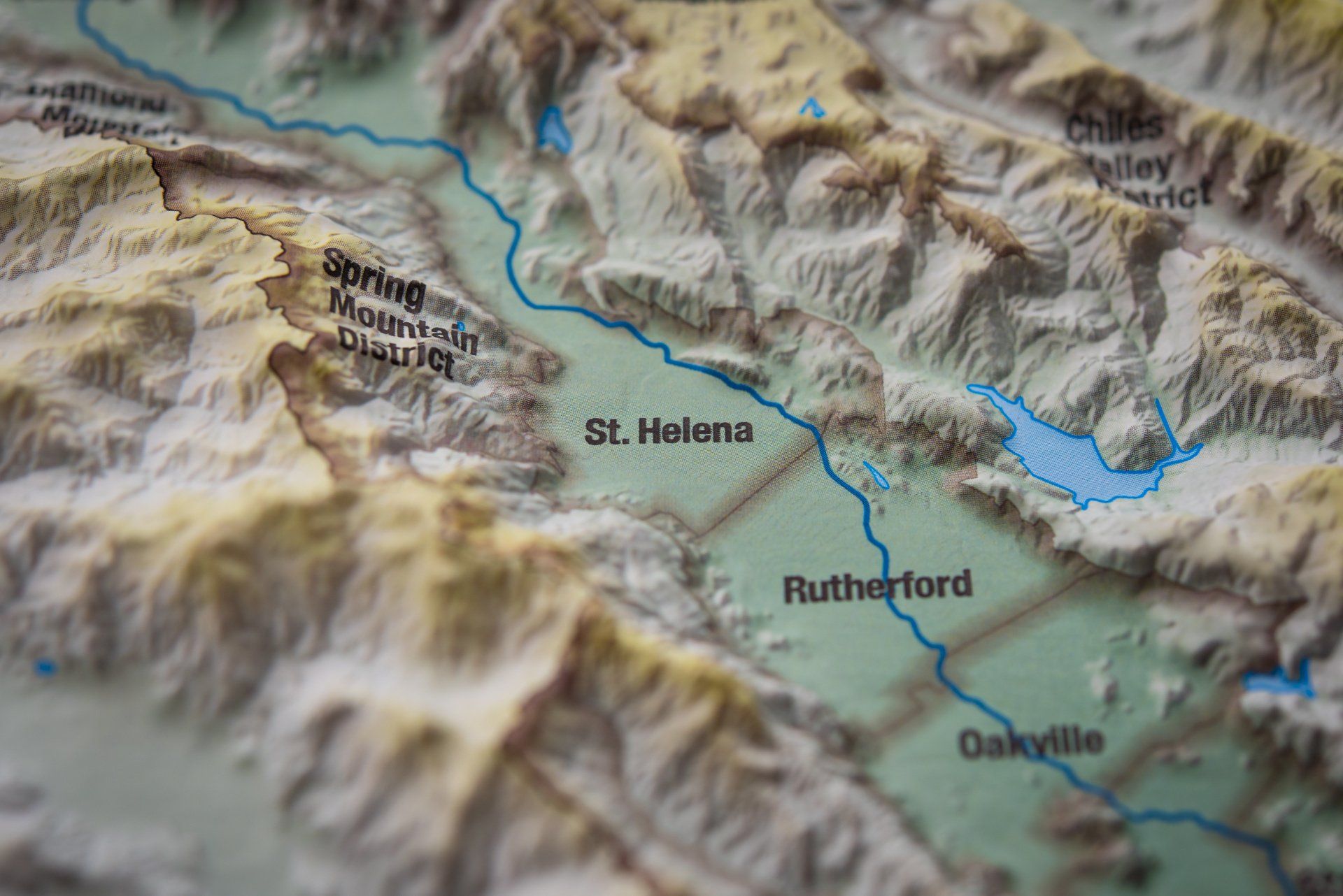
Geographic Information Systems (GIS) combine multiple layers of information into an aesthetically pleasing and informative map of a potential development site. GIS is used extensively in land use planning and development. Such elements as zoning, roads, or streams can all be displayed in a single map to give our clients a macro view of their potential project in relation to existing infrastructure and constraints. MC Civil Engineering provides GIS services in the form of development maps and figures. Such maps and figures can be used in permitting or even marketing ventures.
GIS Services
Maps and figures for reports or marketing.
Can use in-house, publicly-available, or GPS data for map creation.
Seamless integration between GIS software and Civil3D for potential site design work.
How it Works
Gather relevant GIS Data - whether as a shapefile from the client or surveyed GPS data collected at the site.
Process and format the data via ArcGIS software.
Create map(s) for client review and approval.
Export GIS Data to Civil3D for further site work design (if requested).